
The Institute of Meteorology and Water Management (IMGW) has issued a level 1 warning for heavy snowfall in parts of Lower Silesia. It is in effect from 9:00 p.m. on Monday, 2 November, until 10:00 a.m. on Tuesday, 3 November. The warning does not cover the whole country.
The institute announced the warning on X. It applies to selected districts of the Lower Silesian Voivodeship, in the area of the Karkonosze and Western Sudetes, including the vicinity of Jelenia Góra and Szklarska Poręba.
IMGW-PIB METEO POLSKA published a post on Monday, 2 November:
How much snow and where
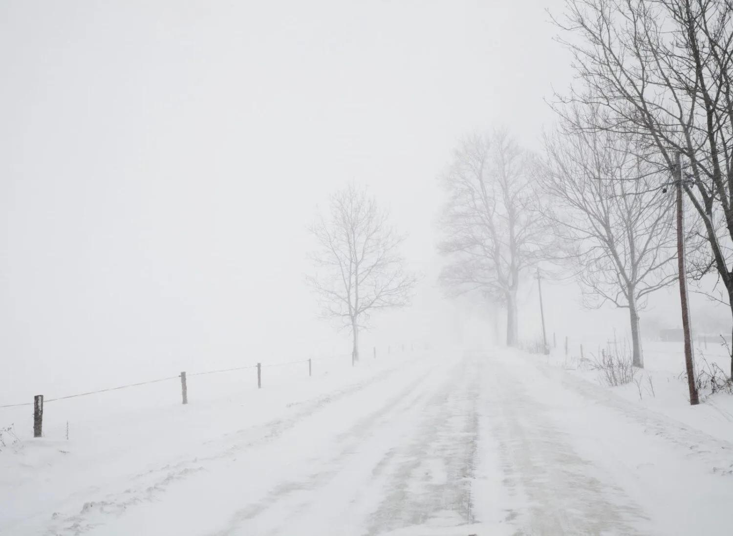
According to the text of the warning, as quoted by local news outlets, snowfall is forecast in areas above 700 m above sea level. It may cause a temporary snow cover increase of up to about 10 cm. IMGW put the probability of the phenomenon at 70 percent. This is the first level on a three-level scale.
The institute notes that the precipitation may worsen conditions on roads and mountain trails. Surfaces may be slippery, and hiking in the mountains may be difficult. In foothill areas, sleet and snow are expected, and in the mountains, snow alone. Sleet and snow may also appear in the basins, including those of Jelenia Góra, Kamienna Góra and Kłodzko.
Current warnings are available on the meteo.imgw.pl website.
Cooling across the country, but not -15°C
Some media reports mentioned frost reaching as low as -15°C. The IMGW forecast for 2–8 November does not contain such a value. According to outlets citing it, the institute predicts a marked cooling, fog and the first stronger ground frosts, with temperatures in some regions dropping to as low as -4°C. The forecast does not foresee widespread, intense snowfall in the lowlands.
The start of the week is expected to be cloudy, with rain and dense fog. From Wednesday, 4 November, the weather should gradually improve, with clearings spreading from the north. From Thursday there should be more sunshine, but in many regions daytime temperatures will remain in single digits, and frosts will return at night. Freezing drizzle is possible in the Tatras and Beskids.
Citing the DobraPogoda24.pl service, Rzeczpospolita writes that the cold may last into the second ten days of November. This is a long-term forecast and therefore carries considerable uncertainty.
What it means
The warning applies mainly to tourists and drivers in the Sudetes and Karkonosze, especially on routes above 600–700 m above sea level. During the night from Monday to Tuesday and on Tuesday morning, slippery surfaces and winter conditions on trails should be expected there. Winter tyres and suitable footwear will be needed in the mountains.
No snow is forecast for the lowlands, but frosts, fog and slippery roads may occur at night and in the early morning. Drivers should check IMGW bulletins, as the forecast may change.