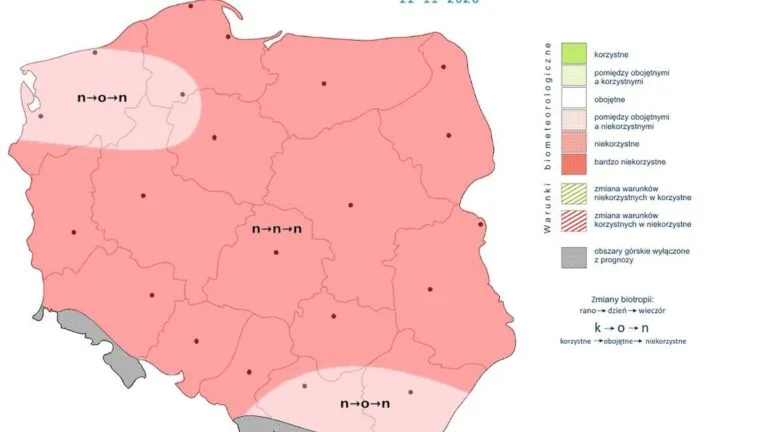

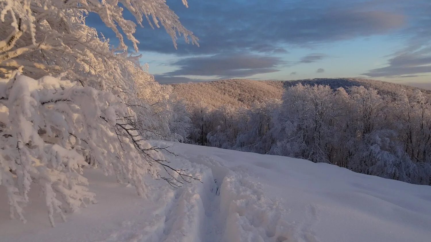
Wednesday, 18 November, is the warmest day of this week, and from Friday temperatures will start to fall. Next week, night frosts are forecast, reaching -7°C in places and locally around -10°C in the Carpathians.
Still mild on Wednesday, cooler from Friday
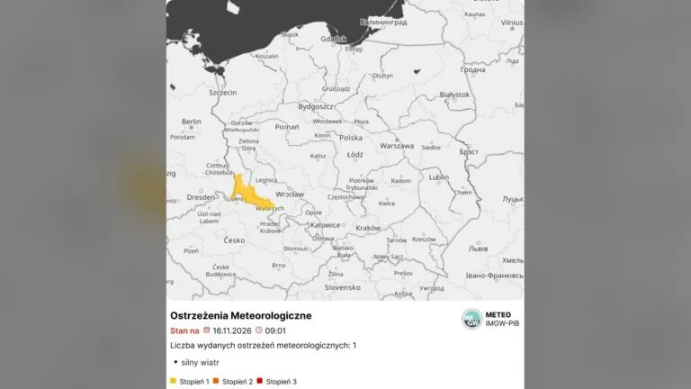
On Wednesday, maximum temperatures range from 6°C to locally 13°C in the south. It is overcast and rainy, and strong winds blow in the west and south. Data from the Institute of Meteorology and Water Management (IMGW) show that overnight the thermometer in Bielsko-Biała read 8.3°C, and in Olsztyn -1.4°C.
In its weekly forecast for 16–22 November, IMGW expects the influence of low-pressure systems and fronts to persist until the end of the week. Cooler air will move in gradually from the northwest. The warmth will last longest in the southeast, where on Friday it may still reach 10–11°C in places.
Weekend: frost and rain mixed with snow
On the night from Friday to Saturday, temperatures across most of the country will range from -3°C to 0°C. In the south and along the coast, temperatures will remain above zero. On Saturday, daytime highs are expected to be between 3°C and 7°C. On Pomerania, rain mixed with snow is possible, and in the Carpathians, snow. By the sea, wind gusts may reach 60 km/h.
On Sunday, 22 November, it will be overcast, with occasional rain, rain mixed with snow and, in places, snow. IMGW gives maximum temperatures from 1°C in Podhale and 2°C in the northeast to 7°C in the west and south.
Next week: nighttime frost, in places also during the day
The coldest night is expected to be from Sunday to Monday. Frosts will cover almost the entire country except the coast. In the south, temperatures will drop to -3°C, and to -7°C in places. On Monday, daytime temperatures are expected to range from 0°C to 4°C, with possible rain mixed with snow in the north.
Forecasts for the middle of next week carry greater uncertainty. On the night from Tuesday to Wednesday, it may get as cold as about -10°C in foothill areas of the Carpathians, and subzero temperatures may persist across all of Poland. In the eastern half of the country, minimal frost may also occur locally during the day. In the west, maximum temperatures are expected to reach 3–5°C.
Double-digit frost values therefore currently apply locally to mountain and foothill areas, not to the whole country. Towards the end of the following week, models signal a possible temporary easing of the weather, but this is a long-term forecast.
We previously covered early frosts in an article about the first frosts, when IMGW measured as low as -10°C at ground level.