
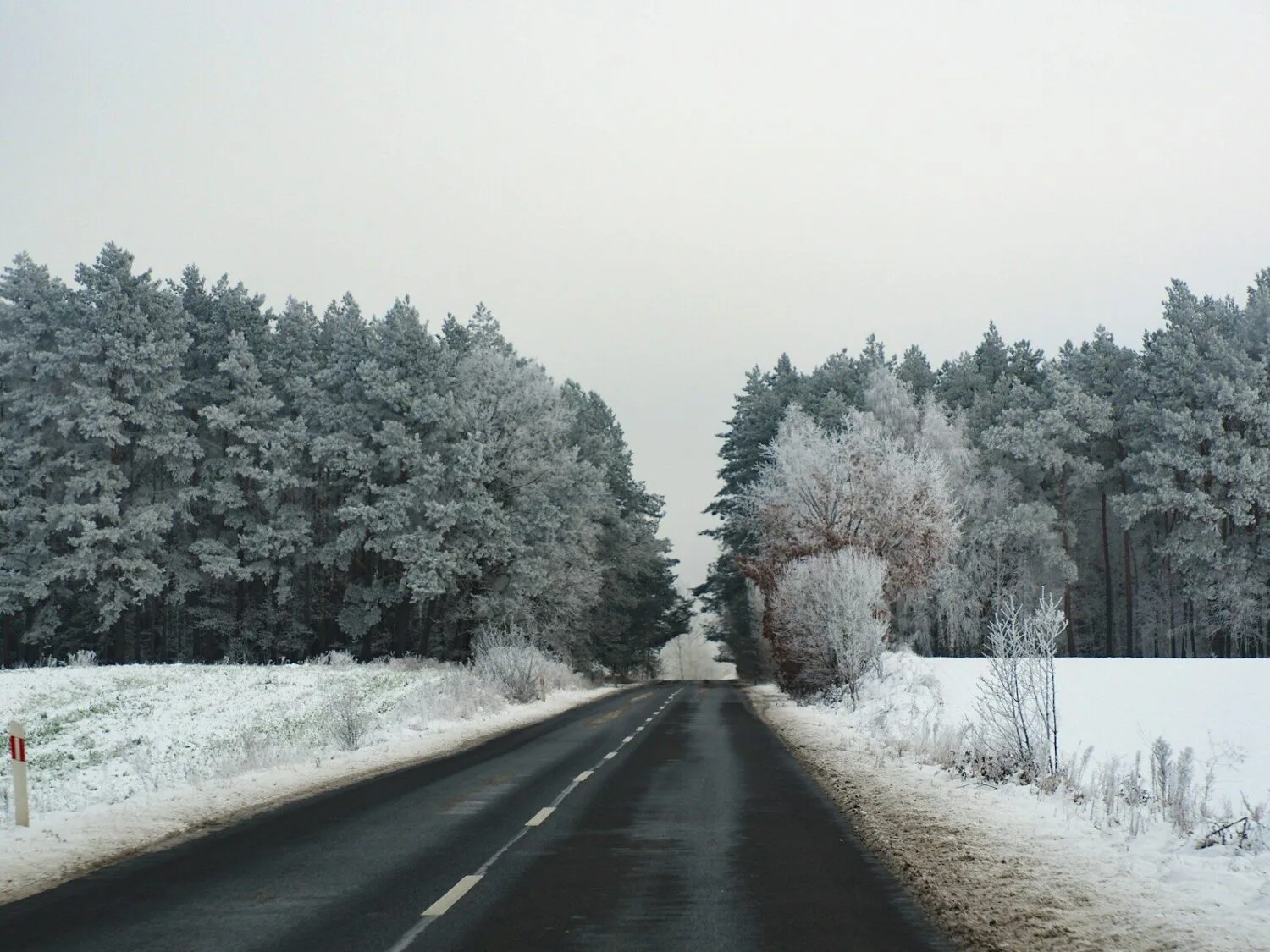
Overnight, ground-level temperatures dropped locally to -10°C, mainly in the south and centre of the country, the Institute of Meteorology and Water Management – National Research Institute (IMGW-PIB) reported on Sunday, 8 November. Border ice has already appeared in the Bieszczady.
First ice phenomena
The institute wrote on X that border ice had been observed in the San river basin in the Bieszczady. Ice phenomena are still absent on the vast majority of rivers, but further frosty nights may cool the water, especially on rivers with low water levels.
Hydrologists note that the first ten days of November once again pass with little or no precipitation, and many rivers are experiencing low flows. Current data on water temperature and ice phenomena are available at hydro.imgw.pl.
Fog and slippery roads
IMGW has issued level 1 warnings for dense fog. Visibility may locally drop below 200 m, and fog may leave hoarfrost in places, causing slippery conditions. The warnings apply from Sunday evening until Monday, 9 November, until 10:00–11:00, depending on the region.
What to expect for 11 November
On Monday, Poland will be under the influence of a weakening high-pressure system that will move over southern Ukraine. According to IMGW, most of the country will be sunny and dry, with light winds. A deep low from the Atlantic will approach from the northwest, and cloud cover will increase in the north and northwest. The institute expects larger weather changes in the coming days.
IMGW-PIB spokesperson Agnieszka Prasek discusses the forecast for Independence Day – including the question of whether the first snow will appear – in a video that IMGW linked to on X on Sunday.
IMGW’s long-range experimental forecast for November assumes precipitation typical for this month across almost all of Poland. The institute stresses that such forecasts do not specify the type of precipitation (snow or rain) and are indicative only.
A year ago we wrote about forecasts of snow as early as mid-November.