
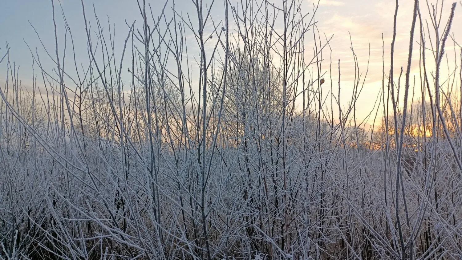
From Monday 23 November, the weather in Poland will become distinctly more wintry: temperatures will fall, and rain will increasingly be replaced by snow and sleet. The greatest threat to drivers and pedestrians will be icing on wet surfaces.
What the Institute of Meteorology (IMGW) Forecasts
As early as Sunday, the Institute of Meteorology and Water Management (IMGW) forecast occasional brief rain and sleet, and in the north, east, foothill areas and mountains, also snow. The maximum temperature was expected to range from 2°C to 6°C. Western and north-western winds were forecast to gust locally up to 55 km/h, and up to 70 km/h along the eastern coast.
IMGW also reported that local thunderstorms are possible overnight from Sunday to Monday along the coastal belt, particularly around the Gulf of Gdańsk and the Vistula Lagoon. In Eastern Pomerania, Żuławy, Warmia and Masuria, total precipitation was expected to reach 10–15 mm in places, with a temporary increase in snow cover of about 5 cm.
Icy Roads and Pavements
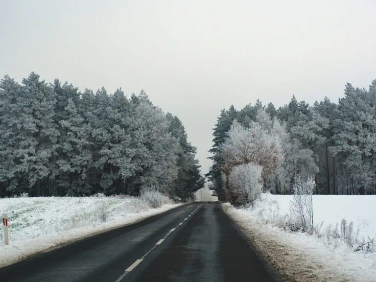
After precipitation, wet surfaces will freeze. On Saturday 21 November, IMGW issued an icing warning for the night from Saturday to Sunday: the temperature was expected to drop to -1°C, and to -3°C near the ground. Institute spokeswoman Agnieszka Prasek urged caution on roads and pavements.
According to the threat forecast for Monday, first-degree icing warnings may cover almost the entire country. During the day the temperature is expected to be mostly above zero, from about 1°C to 4°C, but at night it will fall below zero in places. Compared with previous days, this pattern, with above-zero temperatures by day and light frost at night, favours rapid refreezing of wet roads.
Snow in the South and in the Mountains
IMGW expects snowfall in particular in the south of the country, in the mountains and in Podhale. For the Carpathian foothills, yellow warnings for heavy snowfall have been issued: snow cover there could grow by as much as 10–15 cm within a day, and even more in the higher parts of the Tatras. In the Tatras, the first degree of avalanche danger applies from an altitude of 1,600 m above sea level.
Coast: High Water Levels
Separately, IMGW warned of high water levels along the Baltic Sea. Due to north-westerly and northerly winds on the Eastern Coast, warning levels may be exceeded, and at the start of the week alarm levels locally as well. Backwater effects will appear on rivers flowing into the sea, the Gulf of Gdańsk and the Vistula Lagoon. The situation is expected to remain dynamic until Tuesday.
Many forecasts indicate that the cold weather will persist in the coming days, and warnings are unlikely to be lifted before Wednesday or Thursday at the earliest. Current bulletins are published by IMGW at meteo.imgw.pl.